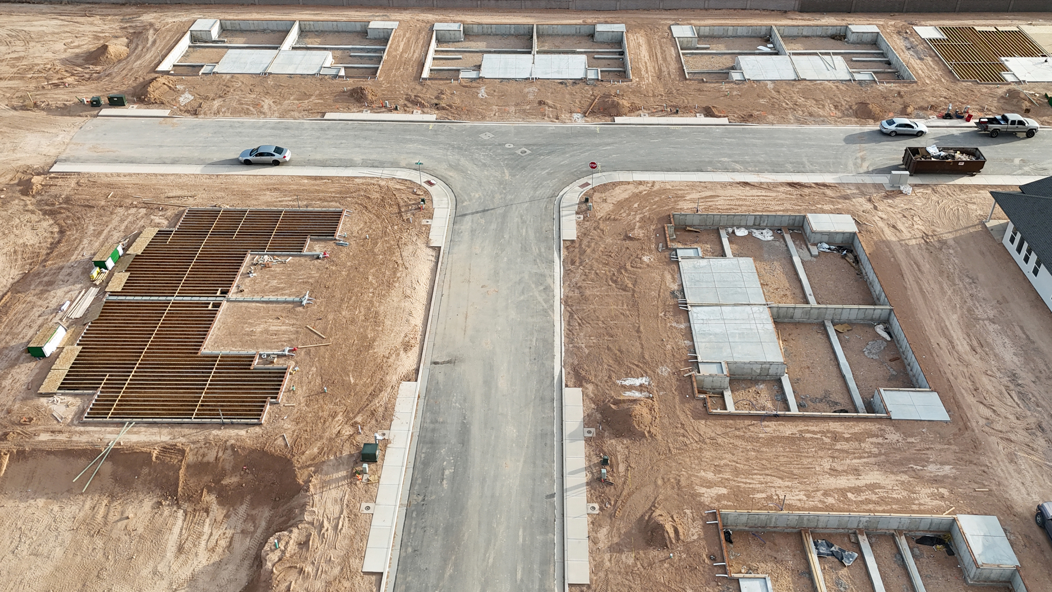
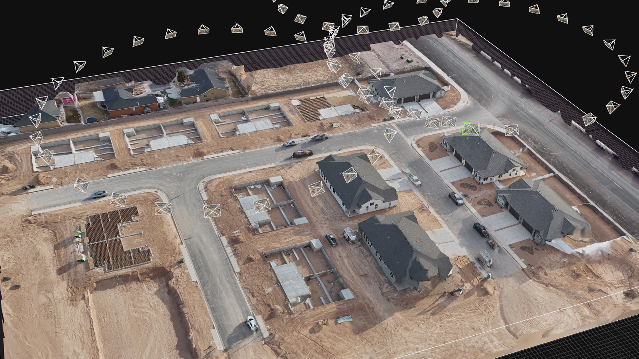
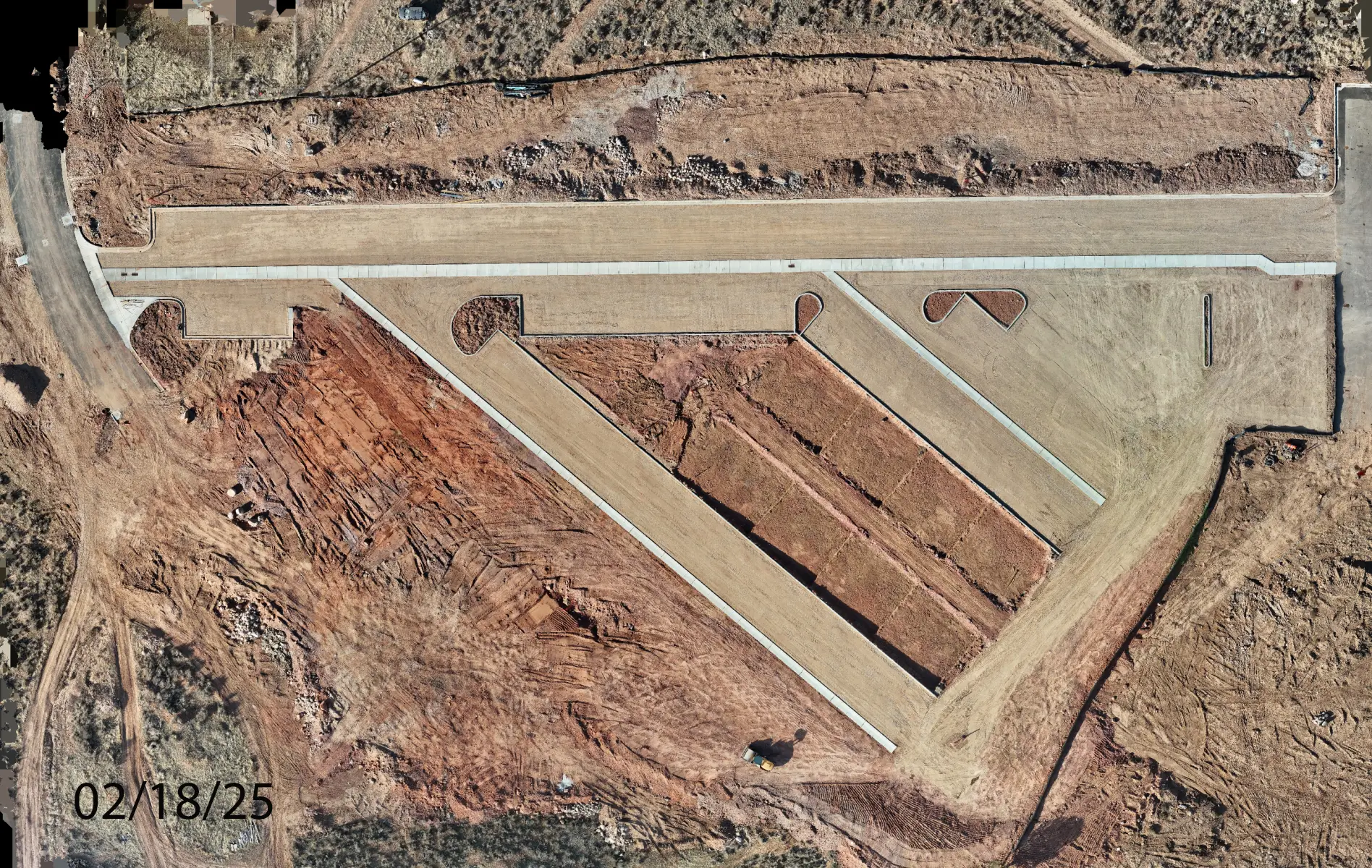
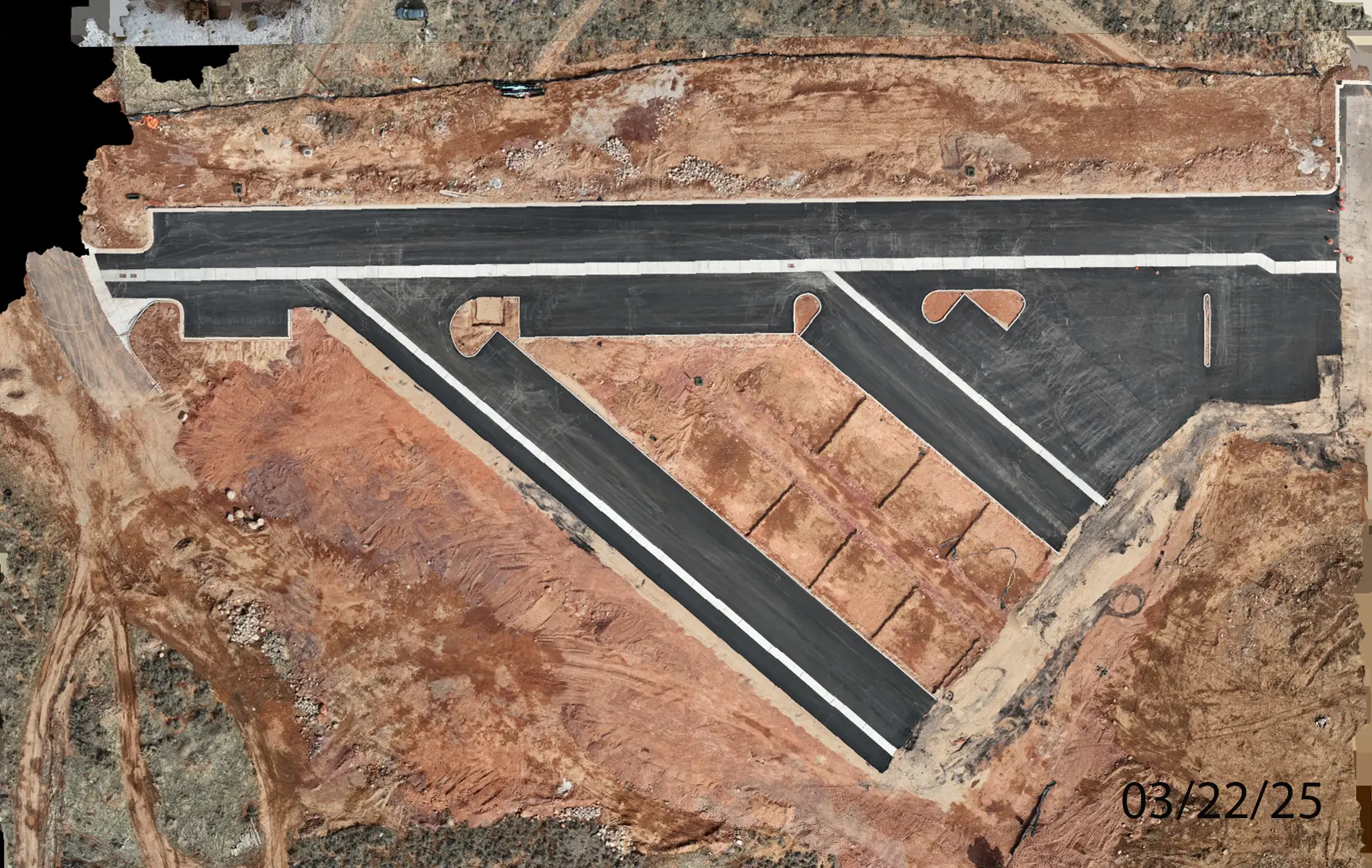
Ekko View

A Master planned community in Cedar City Utah.

Five Phases of Development on 24 Acres.

Completed homes available now as well as new lots breaking ground today!

Overhead Photos

Monitor your Construction site on a daily, weekly or monthly basis, repeatable, over the life of the project. Waypoint drone mapping allows for GPS accurate progression reporting utilizing the latest trends in Image, Video and 3D Modeling

Ekkoview_layout_phases_crop

5 Phase buildout

Phase 1 and 2 are in full swing and ground is being broken for phase 3, 4 and 5 now!

Overhead Map Views

We provide 2D and 3D Aerial mapping so that our Managers and investors can monitor progress on a bi-weekly basis.

Before After Build ProgressionBuild Progression

Before and After Ortho Mapping

We can show before and after images by date to provide clear changes and progress.

Before After Ekko View EstatesBuild Progression

Before and After Photo Progress

We can show before and after images by date to provide clear changes and progress.

Before After Build Progression

Before and After Photo Progress

We can show before and after images by date to provide clear changes and progress.

Video and Timelapse

Video timelapse is a great way to show build progression over the length of the project. This is a must for investors and other interested principles. We can provide stand alone video or blended timelapse of changes over time.

Before After

Repeatable Waypoint Drone Flights

Exact paths can be repeated week after week for comparable data and imagery.

Images, Video and Ortho maps are archived by date and  available for comparison and review at any time.

Scroll to Top