Providing FAA Licensed Drone and Full Service Media for Cedar City and Southern Utah.
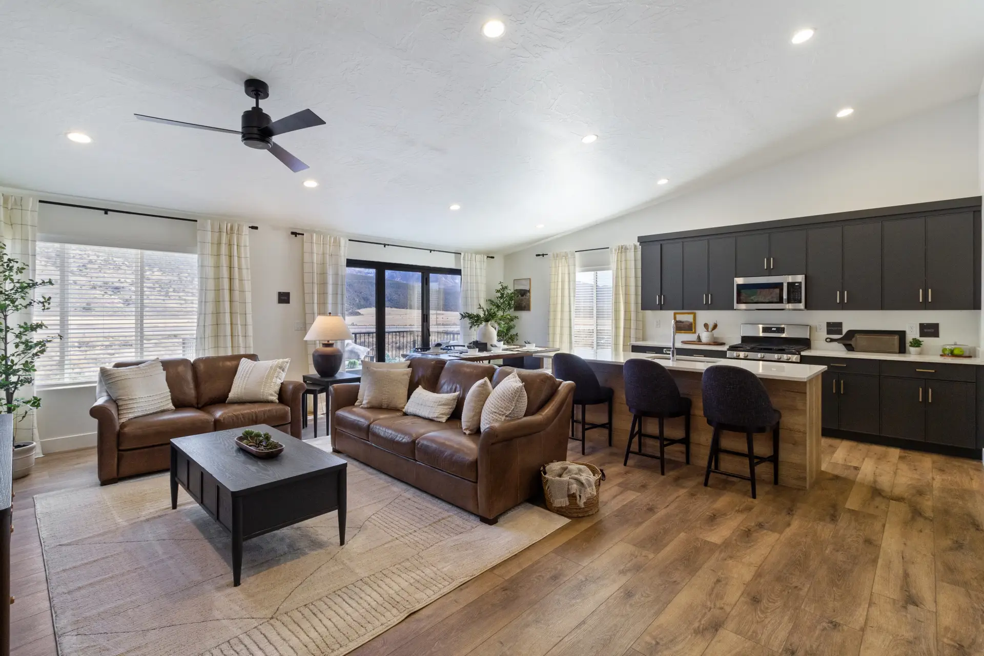
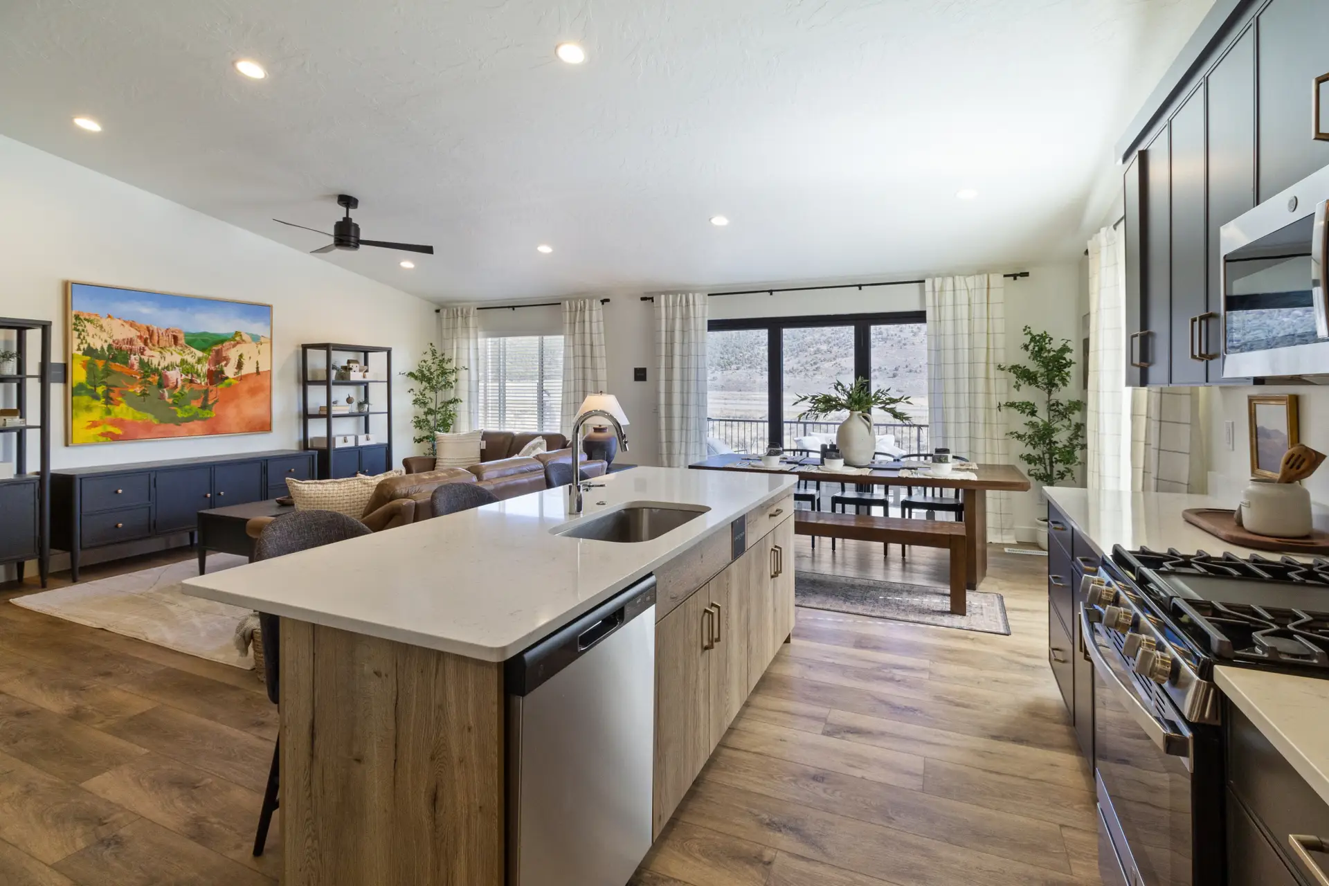
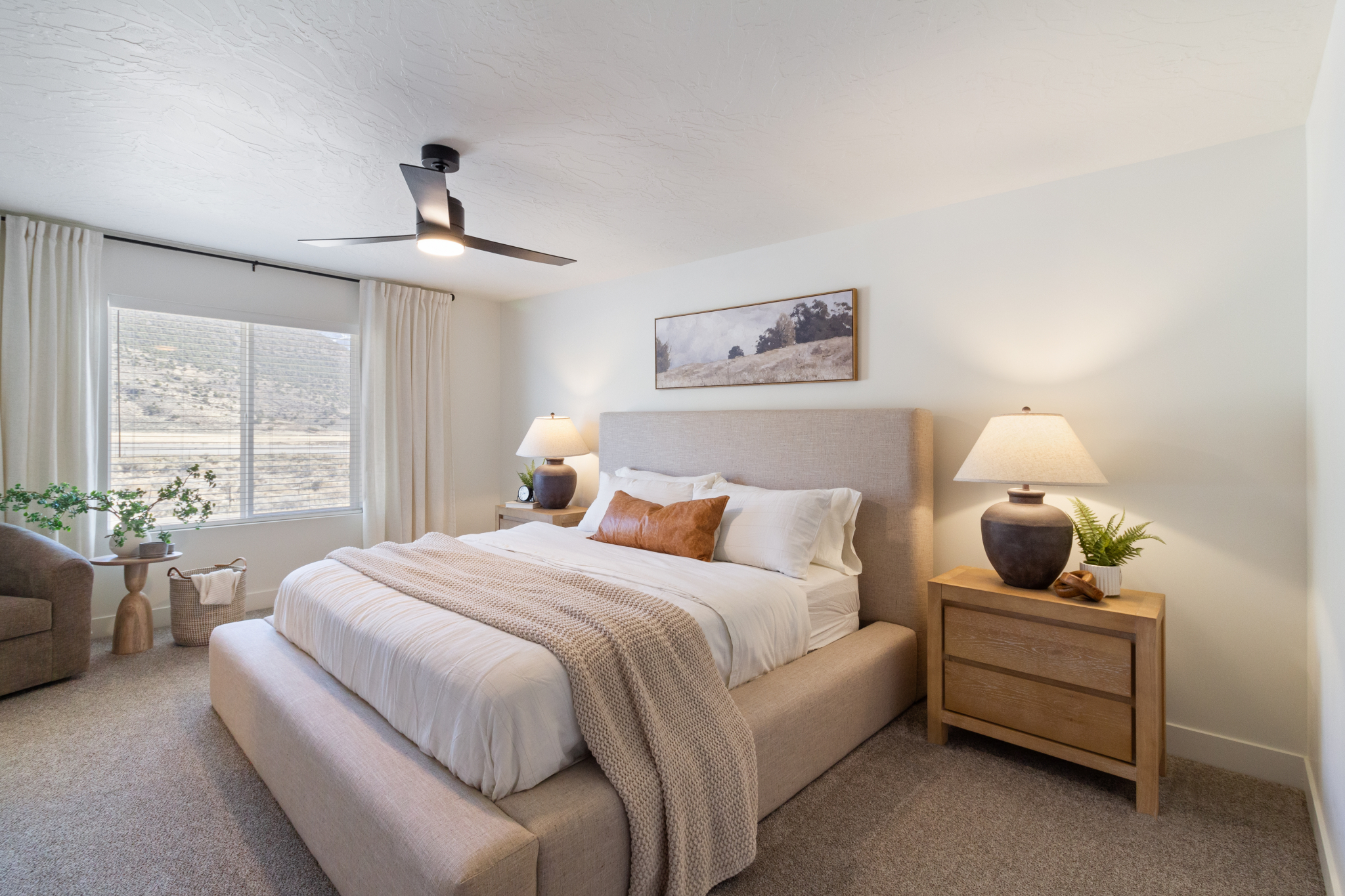
Repeatable Photo, Video and Digital Mapping Services
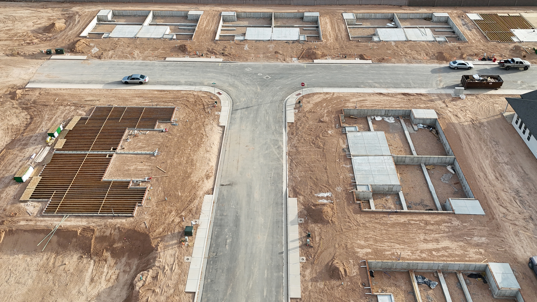
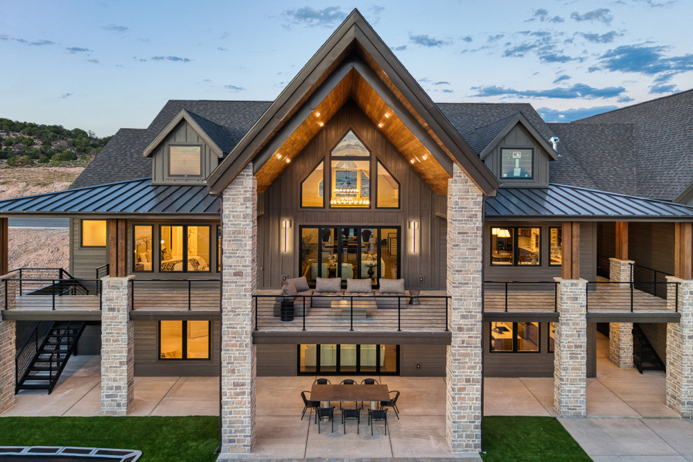
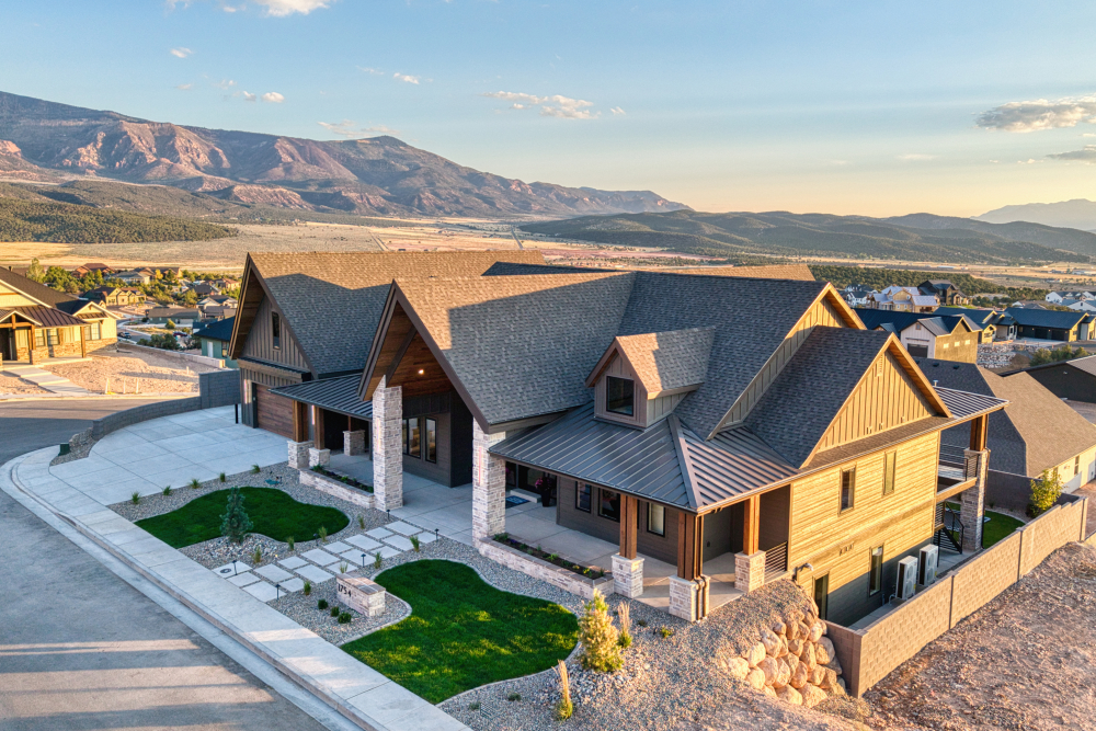
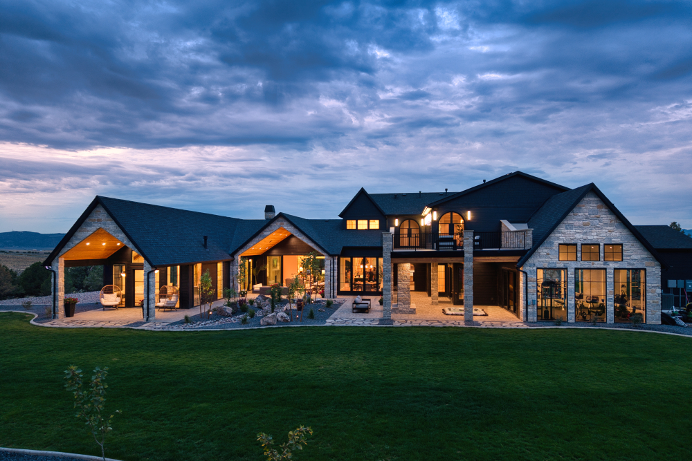
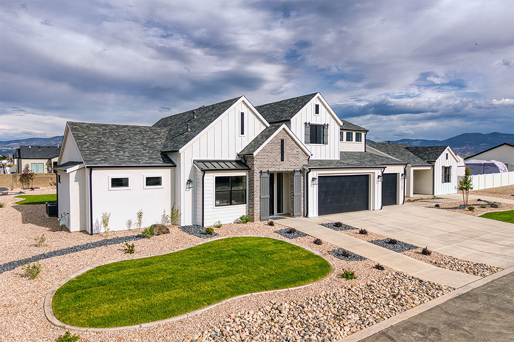
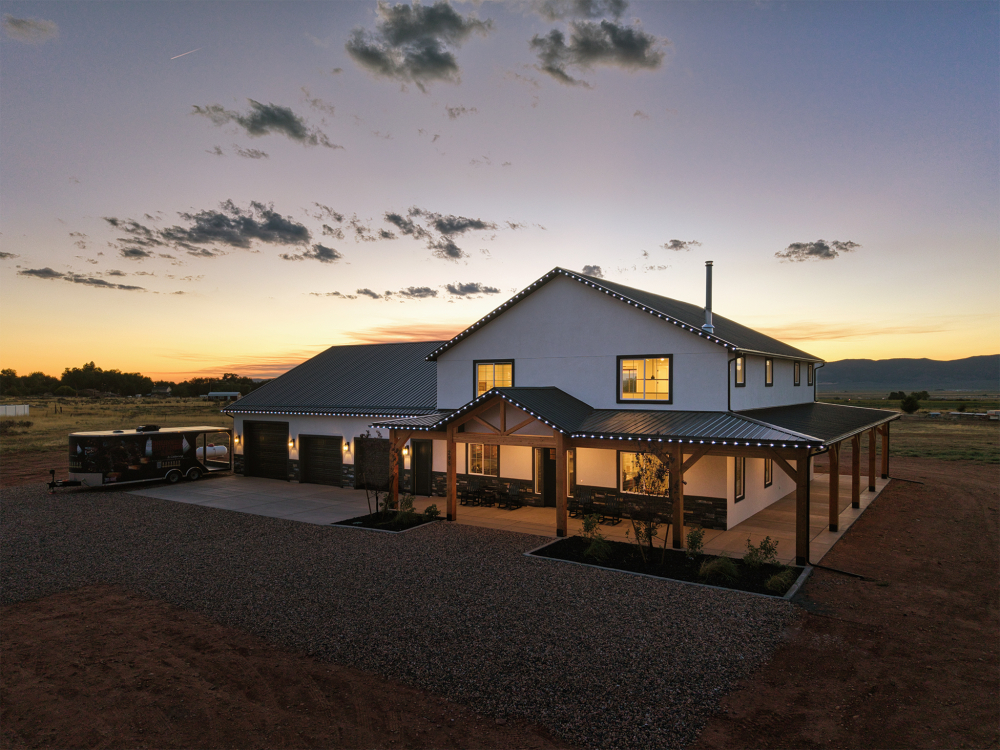
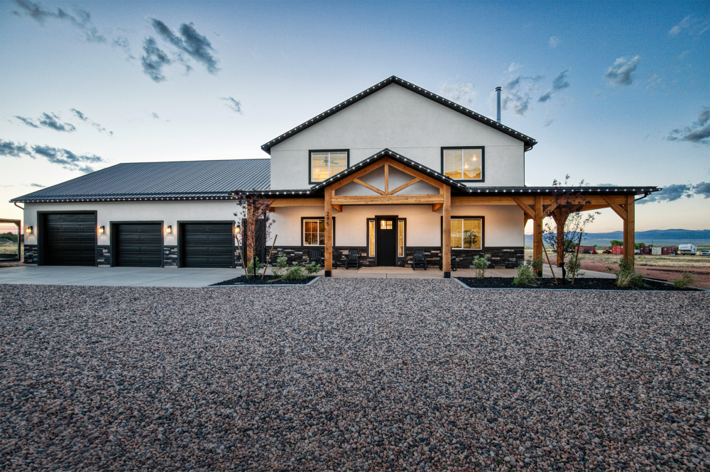
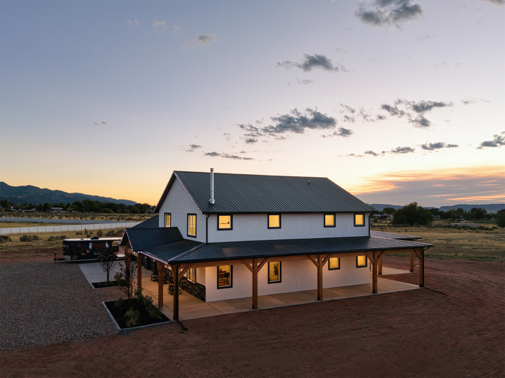
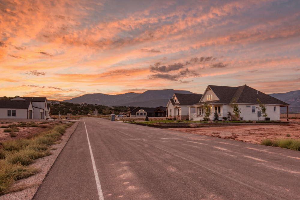
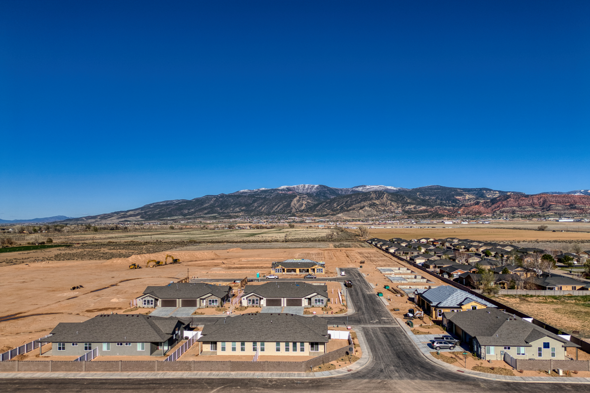
Overhead Photos
Aerial Photos are a vital part of showing historical progress on a build site.
Video
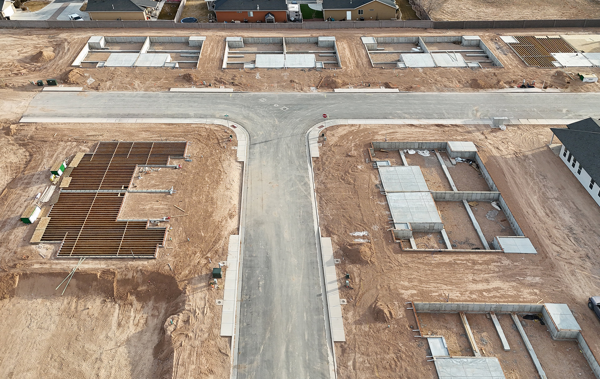
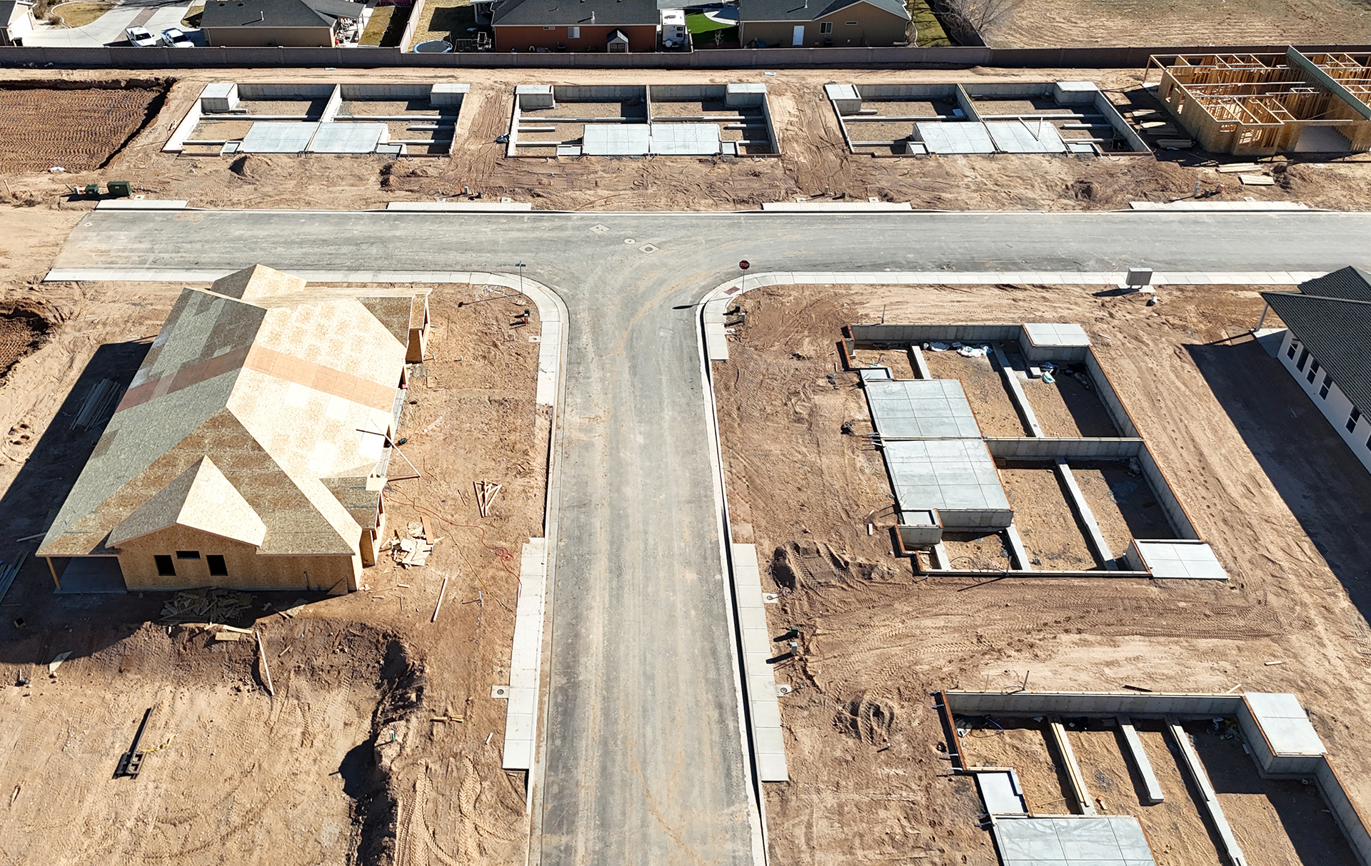
Video and timelapse video is a great way to show build progression over the length of the project. This is a must for investors and other interested principles.
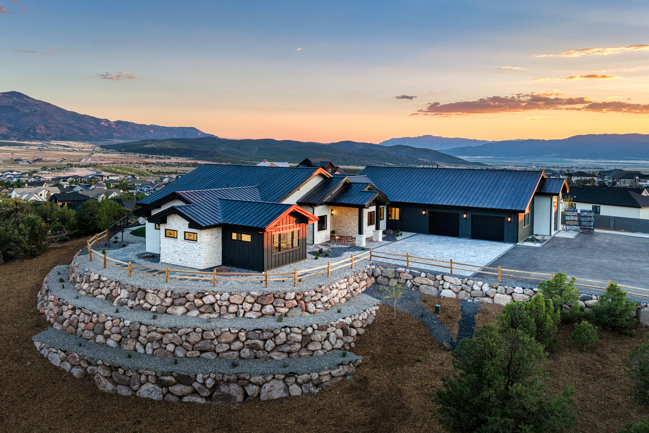
Custom Aerial Panoramas
Panoramas are very popular in showing your build in context with other local businesses and landmarks. Markers and graphics can be added for context and interactive linking to web pages.
Drone Panoramas are very popular in showing your build in context with other local businesses and landmarks.
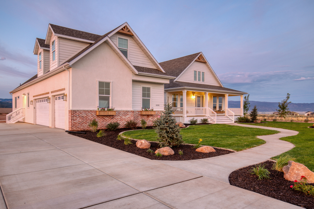
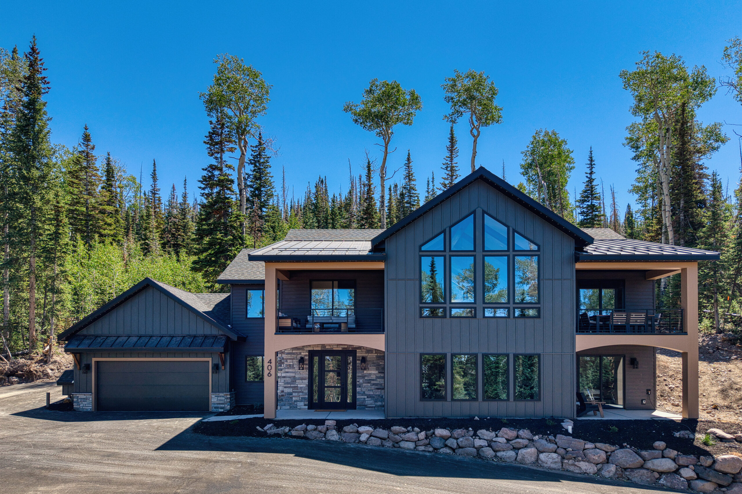
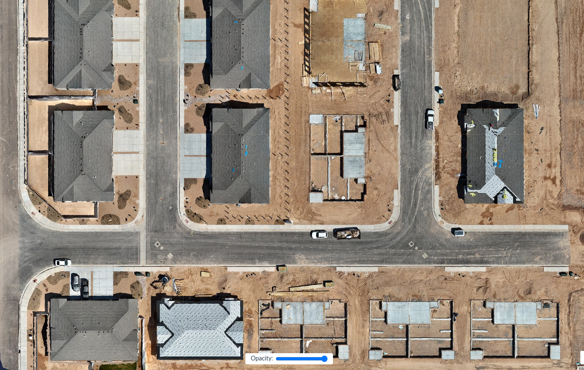
Before and After Photos and Orthographic Mapping
We can show before and after images by date to provide clear changes and progress.
BeforeAfter
Video and Timelapse
Video timelapse is a great way to show build progression over the length of the project. This is a must for investors and other interested principles. We can provide stand alone video or blended timelapse of changes over time.
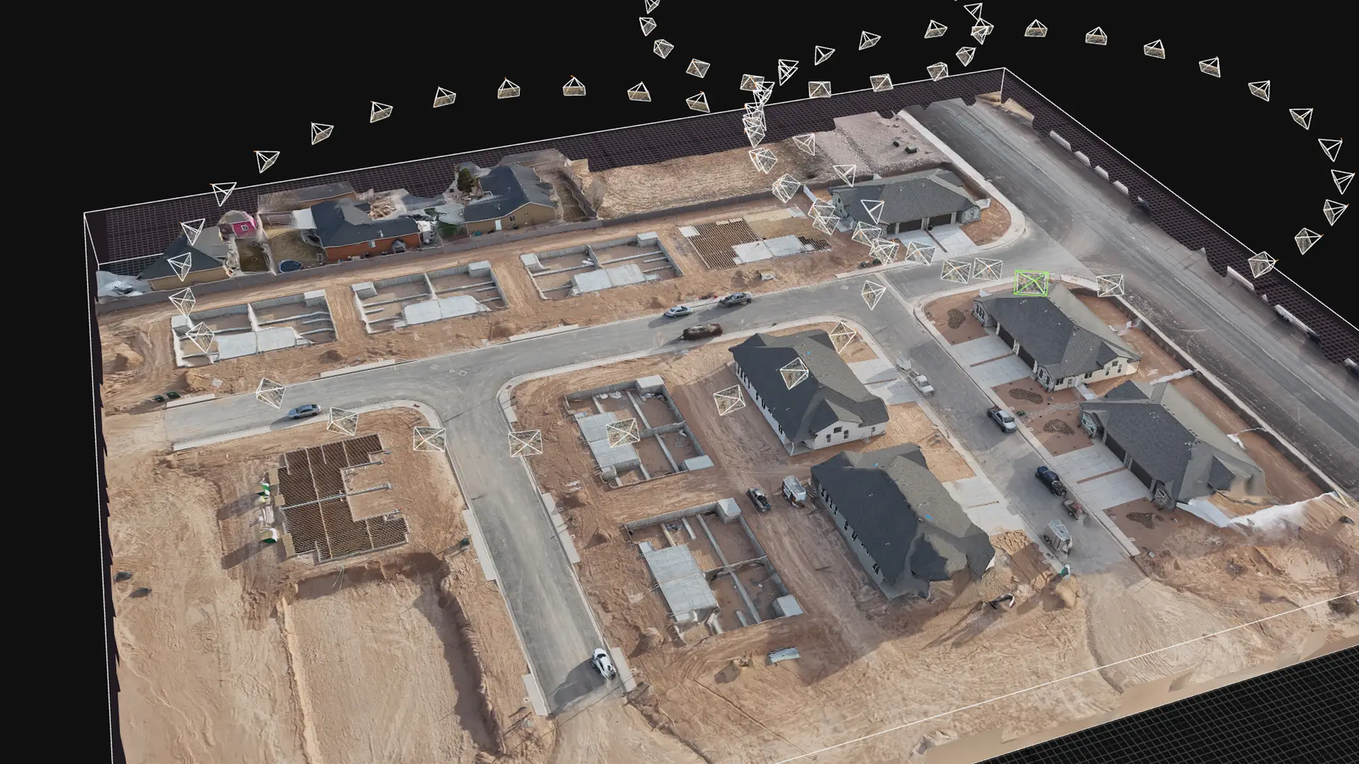
3D Aerial Modeling
Track your build and be able to punch in and move around your site in 3D space. This can be done as a high overhead or very close in fine detail.
3D Aerial Modeling
Track your build and be able to punch in and move around your site in 3D space. This can be done as a high overhead or very close in fine detail.